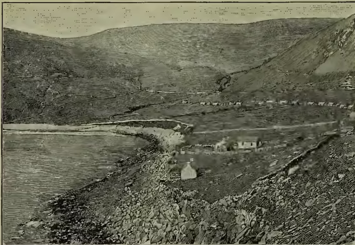
St Lawrence, a great river of North America, which, issuing from Lake Ontario, flows north-east for some 750 miles—part of the way forming the boundary between Canada and the United States—and falls into the Gulf of St Lawrence by a broad estuary. But in its widest acceptance the name includes the whole system of the Great Lakes and their connecting streams, with a total length from source to mouth of 2200 miles, and a drainage basin of 297,600 sq. m. (These lakes, which are of comparatively modern date, are nothing more than a great system of river-valleys, whose old outlets have been blocked, but many of whose former channels have been traced within late years: see Wright, The Ice Age in North America.) The area of water-surface in the five lakes alone is 94,650 sq. m., and their aggregate basin 259,950 sq. m. The St Lawrence system, or that of which the great river is the outlet, thus constitutes by far the largest body of fresh water in the world. This mighty artery of North-east America rises, under the name of the St Louis, on the spacious plateau which sends forth also the Mississippi towards the Gulf of Mexico, and the Red River of the North towards Hudson Bay. Lake Superior (602 feet above sea-level), the next link in the chain, finds its way to Lake Huron through St Mary's River, whose rapids have a fall of 20 feet. Below Lake Huron, which receives Lake Michigan from the south, St Clair River, Lake St Clair, Detroit River, and Lake Erie maintain pretty nearly the same level (there is a fall of some 8 feet, however, in Detroit River) till the river Niagara descends 326 feet to Lake Ontario, which is itself still 247 feet above the sea-level. The St Lawrence proper, with a number of lake-like expansions (such as the Lake of the Thousand Isles, of St Francis, St Peter, &c.), presents the character first of a river, and then of an estuary, down to the gulf. Prior to 1858 only vessels drawing not more than 11 feet of water could pass up the river above Quebec; but since then a channel has been made and attains a maximum altitude of 1220 feet. The rocks are igneous, incumbent on sandstone; the climate is mild; and the soil is black loam, with very fine pasture, but only some 40 arable acres. The live-stock includes nearly a thousand sheep (which graze also on four neighbouring islets), about forty West Highland cattle, and as many mongrel collies; but a principal source of wealth is the sea-birds—fulmar petrels, solan geese, puffins, &c.—which supply feathers, oil, and meat. The fisheries, though productive, are neglected; coarse tweed and blanketing are the only manufactures. The crofter inhabitants, all Gaelic-speaking, and all Free Churchmen since 1844, enjoy Home Rule and are practical Communists; but these advantages are well-nigh counterbalanced by the destructive tempests and consequent famines, by poverty, and by an absolute lack of amusements—eight hours' worship on Sunday the only break in the week. Crime is unknown; but the percentage of illegitimate births during 1851-86 was 6.25. The 'boat-cold' is still communicated by in the shallow parts of the river, 300 feet wide and 274 deep, which permits the passage up to Montreal of vessels of 4000 tons burden. Between Lake Ontario and Montreal there are several rapids, which, however, may be all avoided by means of canals that have been constructed at a very great expense. At about two-thirds of the distance from Lake Ontario to the city of Montreal the intersection of the parallel of 45° determines the point where the St Lawrence, after having been an international boundary from the head, or nearly so, of Lake Superior, becomes exclusively Canadian. Immediately above the island of Montreal the St Lawrence is joined by its principal auxiliary, the Ottawa (800 miles), from the north-west; and a little more than half-way between this confluence and Three Rivers, the highest point of tidal influence, the Richelieu from the south brings in the tribute of Lake Champlain. Other principal tributaries are the St Maurice (400 miles), the Saguenay (100), and the Batiscan (50). The width of the St Lawrence varies from less than 1 to 4 miles; the estuary at its mouth is above 100 miles across. During winter the river is frozen over and navigation closed. For map, see CANADA.
The GULF OF ST LAWRENCE, a western inlet of the North Atlantic, washes Newfoundland, Quebec, New Brunswick, and Nova Scotia. It has three communications with the ocean—the Strait of Belleisle, between Newfoundland and Labrador; the Gut of Canso, between the island of Cape Breton and the peninsula of Nova Scotia; and a far wider passage than either, with the island of St Paul in the middle, between Cape Breton and Newfoundland: while in the opposite direction it narrows, at the west end of Anticosti, into the estuary of the St Lawrence River. Besides Anticosti, St Paul's, and Prince Edward's, already mentioned, this arm of the sea contains very many clusters of islands, which are rendered more dangerous to shipping by the thickness of the fogs and the uncertainty of the currents. Both the Gulf and River of St Lawrence are celebrated for the productiveness of their fisheries. See QUÉBEC.